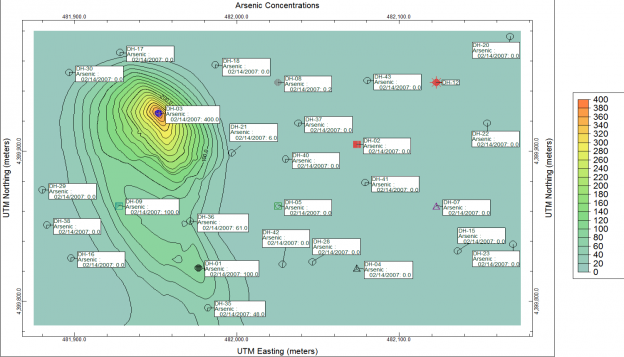
Use RockWorks to represent your data with dozens of different map types (click on a link or image for more information):
- Point maps – borehole locations, sample sites, bubble maps, multi-variate maps
- Contour maps – lines, color bands, gradient vectors, grid cells representing elevations, isopachs, concentrations, potentiometric surfaces
- Range, Township, Section (Public Land Survey) maps
- Imagery Tools – import/rectify aerial photos
- Geology maps extracted from lithology block models and stratigraphy models
- Specialty Maps (strike and dip, Rose, stereo, log maps etc)


