Geotechnical
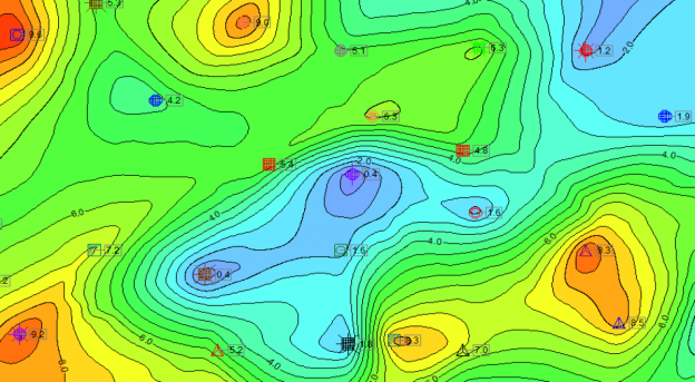
RockWorks offers geotechnical and civil engineers graphical and analytical tools for evaluating construction and excavation sites. Create borehole logs and cross sections, dozens of different types of maps, structural diagrams, geological / geotechnical / fracture / color models, volume reports, and more. Whether you’re in the beginning, middle or ending phase of a project, you’ll find that RockWorks will save you and your clients both time and money. Read more.
Environmental
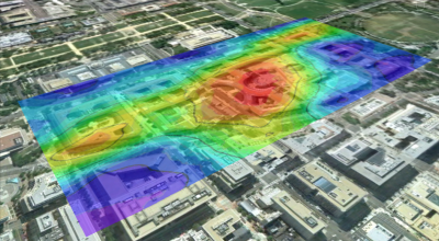
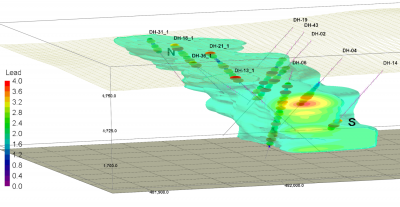
Offering borehole logs, cross sections, concentration maps, plume models, geology models, time-based animations, geochemistry diagrams, and more, RockWorks will help the environmental professional along the path from site characterization to remediation planning and execution. Read more.
Mining
Mining professionals rely on RockWorks point and contour maps, 2D and 3D log displays, projected sections, block model interpolating and editing, detailed volume calculations, and import/export tools in both exploration and production phases of their projects. Read more.
Oil and Gas
RockWorks gives the petroleum geologist the tools to get the job done: well spotting, mapping (bubble, structure, isopach, land grid, log maps), cross sections, stratigraphic modeling, reservoir modeling, and much more. Read more.


