Understanding what lies beneath the surface has always been one of the most complex challenges in energy development, environmental protection, and resource management. Today, advancements in subsurface modeling are reshaping how professionals interpret geological data, make decisions, and execute projects with greater precision and confidence. From oil and gas exploration to groundwater protection, modern tools are turning raw data into actionable insights.
The Growing Importance of Subsurface Modeling Software in Modern Projects
As projects become more data-driven, the demand for advanced modeling tools continues to grow. Engineers, geologists, and environmental scientists rely on accurate subsurface interpretations to reduce uncertainty and improve outcomes. Subsurface modeling tools enable teams to visualize complex underground conditions, identify patterns, and predict future scenarios.
In industries where even minor miscalculations can lead to costly consequences, having reliable modeling capabilities is no longer optional—it’s essential. These tools streamline workflows, improve collaboration, and ensure that decisions are backed by robust data analysis.
How 3D Geological Modeling Software Enhances Subsurface Data Interpretation
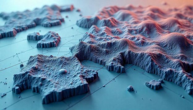
Traditional 2D representations often fall short when dealing with layered geological structures. This is where 3D geological modeling becomes a game-changer. By transforming datasets into three-dimensional visualizations, professionals can better understand spatial relationships, fault lines, and stratigraphic formations.
With the help of advanced geological modeling software, users can create detailed models that accurately represent subsurface conditions. These models allow for more informed decision-making in exploration, construction, and environmental planning. The ability to rotate, slice, and analyze data from multiple angles provides a level of clarity that was previously unattainable.
The Role of Hydrogeological Modeling Software in Water Resource Management
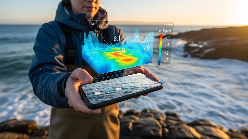
Water is one of the most critical resources on the planet, and managing it effectively requires precise analysis. Hydrogeological modeling software plays a vital role in understanding groundwater flow, recharge rates, and aquifer behavior.
These tools enable scientists to simulate various scenarios, such as drought conditions or increased extraction, helping stakeholders make sustainable decisions. By accurately modeling groundwater systems, organizations can prevent overuse, protect water quality, and ensure long-term availability for communities and industries alike.
Using Groundwater Contamination Modeling Software for Environmental Protection
Environmental protection has become a top priority across industries, and technology is playing a key role in achieving it. Groundwater modeling software allows experts to track the movement of contaminants, assess risks, and design effective remediation strategies.
By predicting how pollutants spread through soil and water systems, professionals can take proactive measures to minimize environmental damage. This capability is especially crucial for industries such as manufacturing, mining, and waste management, where contamination risks are higher.
How Mining Geology Software Improves Resource Exploration and Planning
Mining operations depend heavily on accurate geological data. Geoscience software tailored for mining applications enables companies to analyze ore deposits, evaluate feasibility, and optimize extraction processes.
Advanced modeling tools provide detailed insights into mineral distribution, helping companies reduce exploration costs and improve efficiency. With better planning and data visualization, mining projects can achieve higher productivity while minimizing environmental impact.
Integrating Subsurface Modeling Software with Environmental Remediation Software
One of the most significant advancements in recent years is the integration of modeling tools with remediation technologies. Combining subsurface analysis with environmental cleanup strategies allows for more targeted and effective solutions.
By integrating data from multiple sources, professionals can identify contamination hotspots, design remediation plans, and monitor progress in real time. This holistic approach ensures that environmental restoration efforts are both efficient and sustainable.
Using Mining Geology Software for Efficient Resource Management
Beyond exploration, mining software plays a crucial role in ongoing resource management. Accurate modeling helps companies monitor reserves, plan extraction sequences, and adapt to changing conditions.
Efficient resource management not only improves profitability but also reduces waste and environmental disruption. By leveraging advanced tools, organizations can strike a balance between economic growth and environmental responsibility.
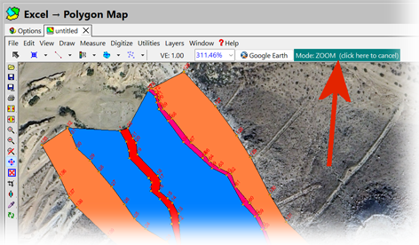
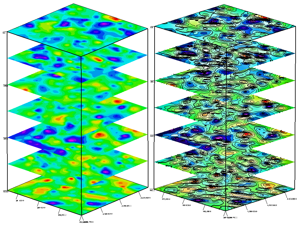
How RockWorks Software Simplifies Subsurface Data Visualization
One of the key challenges in subsurface analysis is making complex data accessible and understandable. Modern platforms specializing in geological data visualization simplify this process by transforming raw datasets into intuitive visual formats.
These tools enable users to generate cross-sections, contour maps, and volumetric models with ease. By improving data clarity, they enhance communication between teams and stakeholders, ensuring that everyone involved in a project has a clear understanding of subsurface conditions.
The Impact of Groundwater Contamination Modeling Software on Public Safety
Public safety is directly linked to how well we understand and manage subsurface environments. Contaminated groundwater can pose serious health risks, making accurate modeling essential.
By using advanced tools, authorities and organizations can identify potential hazards, implement preventive measures, and respond quickly to emerging threats. This proactive approach not only protects communities but also builds trust and accountability in environmental management practices.
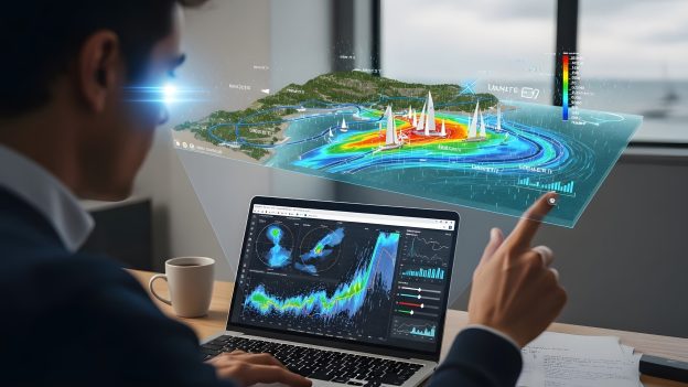
Achieve Better Results with Advanced Integrated Geology Software
The future of energy and environmental projects lies in the ability to integrate multiple data sources into a unified system. Integrated geology software brings together various modeling capabilities, enabling seamless workflows and more comprehensive analysis.
From exploration to remediation, these platforms provide end-to-end solutions that improve efficiency, accuracy, and sustainability. As technology continues to evolve, the role of advanced modeling tools will only become more critical in shaping the future of these industries.
In a world where data drives decisions, having the right tools can make all the difference. By leveraging cutting-edge solutions in subsurface visualization and modeling, professionals can achieve better outcomes, reduce risks, and contribute to a more sustainable future. To explore powerful tools designed for these challenges, consider the innovative software solutions offered by RockWare Inc.